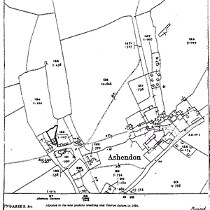
Historical Maps and Aerial Photo
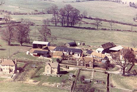
Click on the aerial photograph to view a larger image that will allow you to zoom in for a closer look. You can also download a high quality version of this photo: aerial2.zip (516k) You will require WinZip to decompress this Zip file. If you do not have WinZip installed on your computer, you can download it from www.winzip.com
